63 hectare farm for $50k. Located by a village a few minutes drive off the main E-45 highway.
Current interest: One person has expressed interest in buying this with others, either as a group buy, or a buy-and-split.
The Basics
Size: 63 hectares total / 156 acres
Elevation: 1000m / 3300 above sea level at lowest point. Rises to about 1400m / 4600ft on the peak of the mountain at the north property boundary.
Access: 30 minute walk from road to the south. Owners should extend a driveway to the property for easier access.
Electric: 2km from power line
Internet: Available, not installed
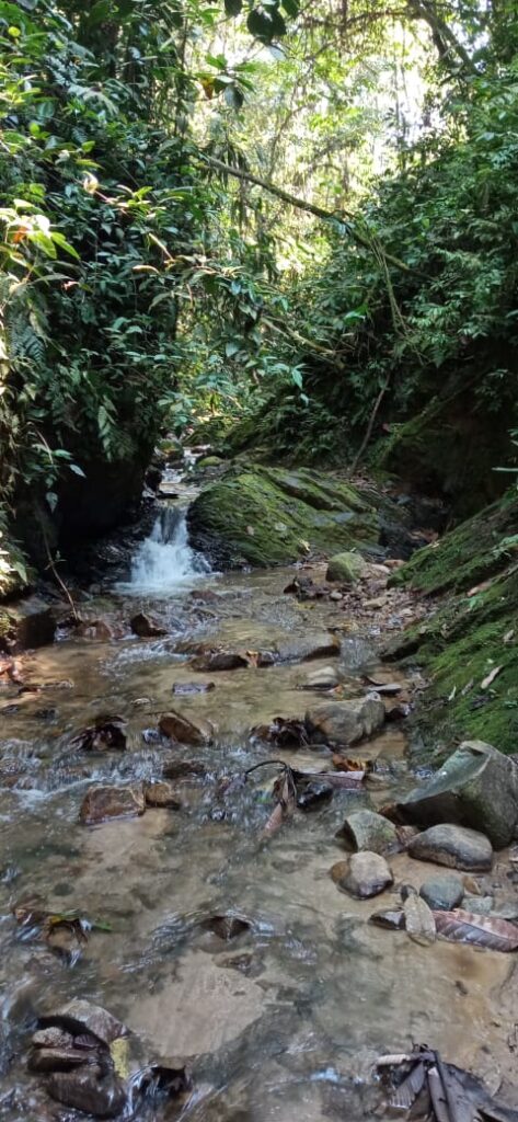
Water: Multiple streams on property.
Structures: Old wood cabin.
Photos: Click here.
Location: Click here.
Cost
The owner is asking $50k USD.
It would cost about $25k USD to make a 6 meter wide graveled driveway from the nearest road, to the property.
We can make a custom development plan for this property with cost estimates for projects such as: Water system, internet and electric (grid or solar), structures, fruit orchards, etc.
29.
29
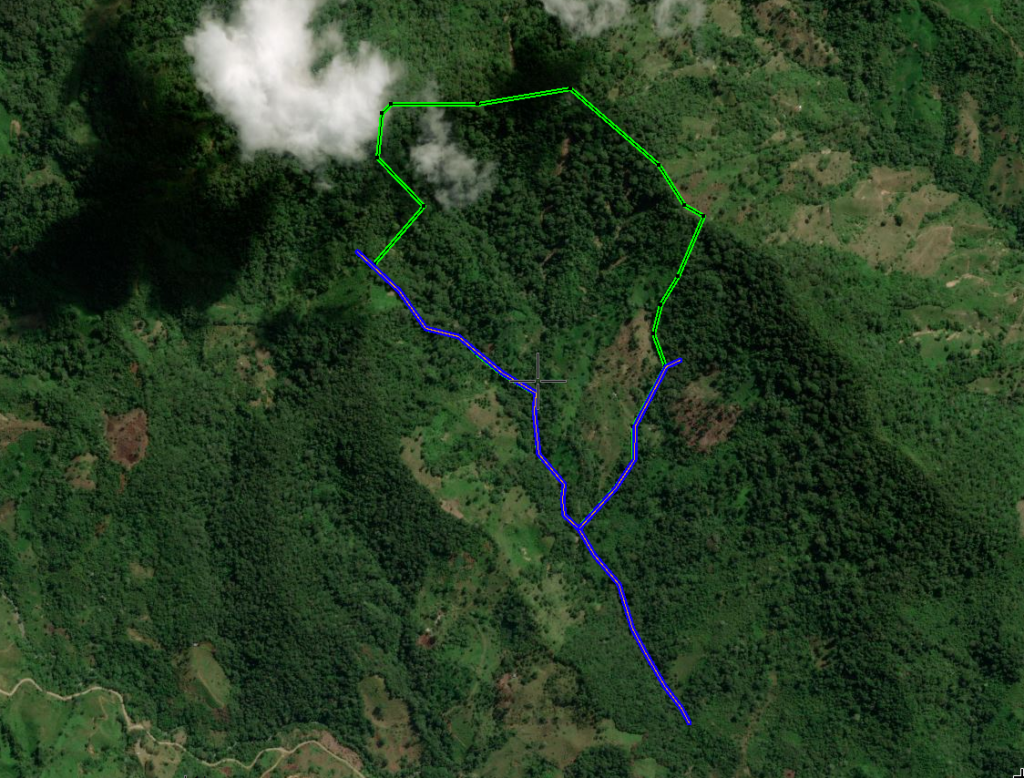
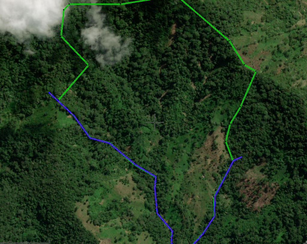
Location Photos
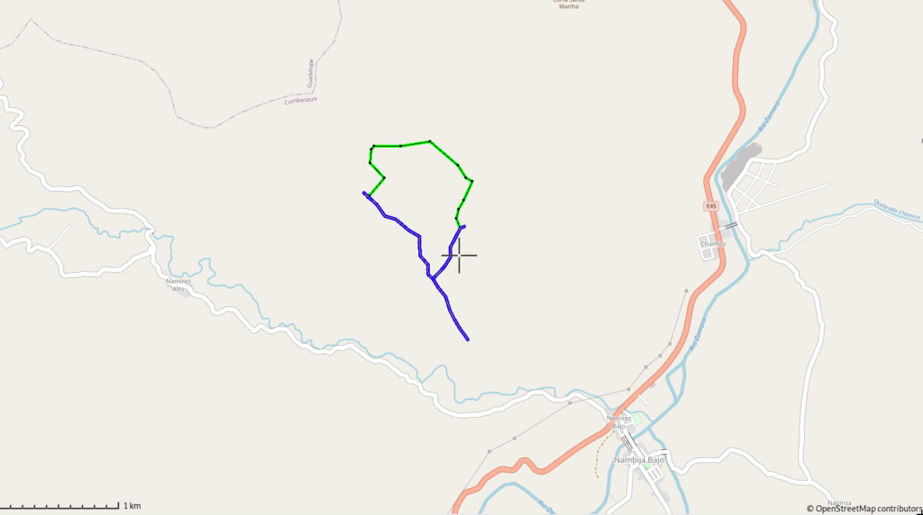
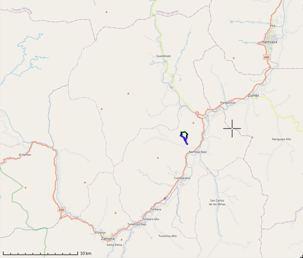
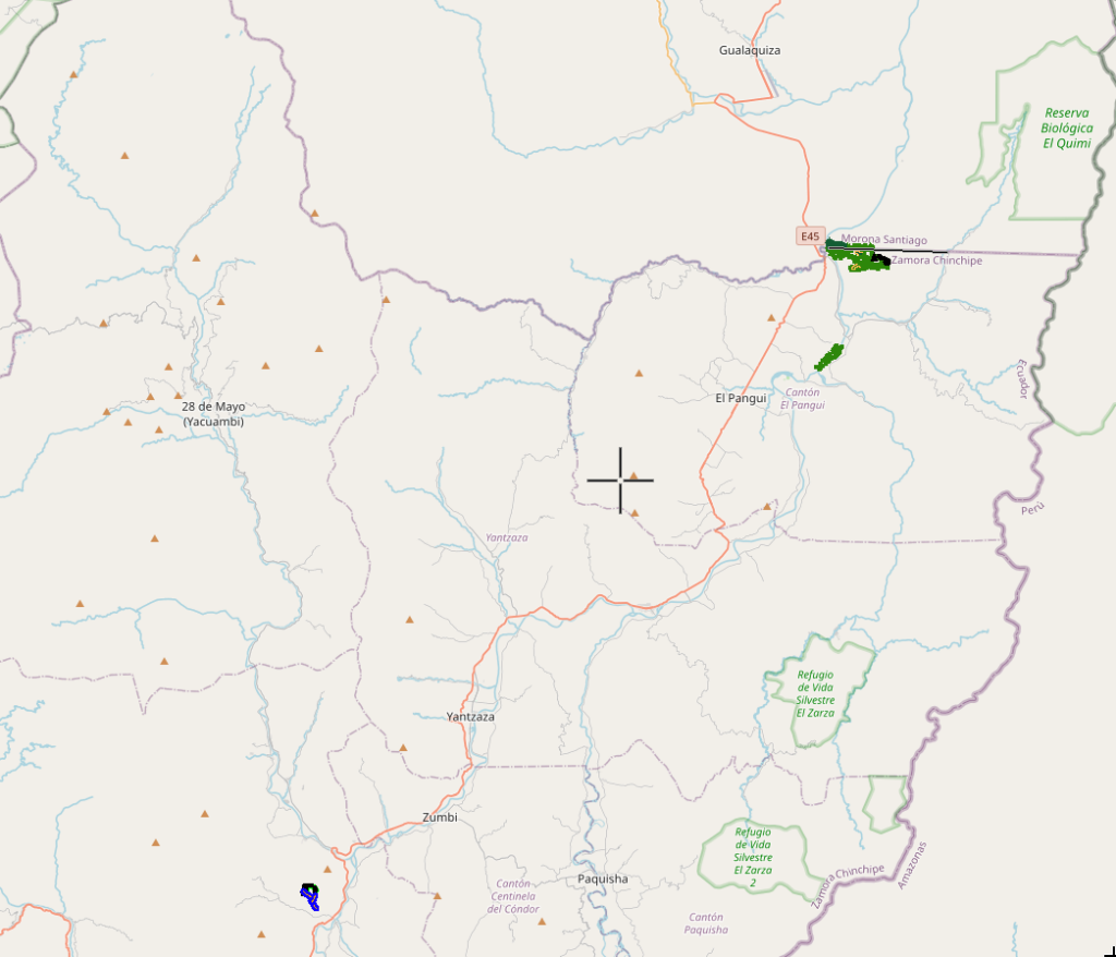

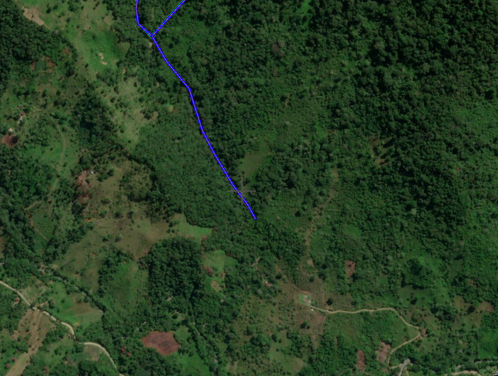
Above you can see the property’s location. The blue line extending from the south end is just to indicate the stream that continues downhill. On the third image, you can see the green blobs in the top right, which is the location of Fruit Haven Ecovillage, as well as the little green blog below that which is the location of the Liberty Homesteads: Manchinatza 1-3 properties.
Climate
Annual average low/high temps are around 17C/63F to 28C/82F. Mix of sun, partial sun, cloud, rain, changing up frequently. Wet season Feb – July, dry season August – January. Some wind, not extreme. Almost no serious storms, except for a major windstorm once every few years. No major earthquake risk in this area, no flooding, no forest fires, no tornadoes. Annual rainfall ~1900mm / 73 inches. Humidity is medium-high but constant; less humid than, for example, most of the US in the height of summer.
Annual minimum is probably around 14C / 57F, but it only gets this cold during a few nights at the end of the wet season.
Access
In this image, you can see a map of the access situation. The top of the map shows the southern tip of this farm where the two streams meet. The blue line extending south is just to indicate the continuation of the stream.
In the bottom right, you can see a road leading to a small cleared area. This is a municipal water system that provides water to the village downhill. This is the road access point closest to the farm. From there, you can make a 1km gravel road to access the farm for about $25k USD. We would be happy to manage this project for you.
From the road, there is public transportation or taxi services available to nearby villages and towns.